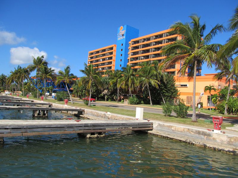
Location
The Melia Varadero Hotel is located on the Hicacos Penninsula about 150 km east of Havana. It is almost straight south of the western edge of the tip of florida. The peninsula over is 20 km long and is only 1.2 km wide at its widest point. It is separated from the island of Cuba by the Kawama Channel. The wide area in the channel is Laguna del Paso Malo.

Location of Melia Varadero relative to Havana

Aerial View of the Hicacos Peninsula - What a Beautiful Sunrise
You can see the man made Kawama Channel cutting diagonally across the penninsula in the foreground of the photo. The channel was created so that boats going farther east would not have to go all the way around the end of the penninsula. You can also see the white sand beach that along the north coast that is the key to Varadero's popularity as a tourist destination.
Satellite view of the area around Laguna del Paso
The Santa Marta airport is a very small local airport. International flights do not land there.
At the right of this photo you can see the bridge over the Kawama channel and the start of the Autopista del Sur
the 4 lane expressway that runs the length of the penninsula along the south shore.
We have stayed at Playa Caleta and liked it. It has been undergoing extensive renovations for several years and the reviews are not as good now.
